
Where is the CR 486 IMA?
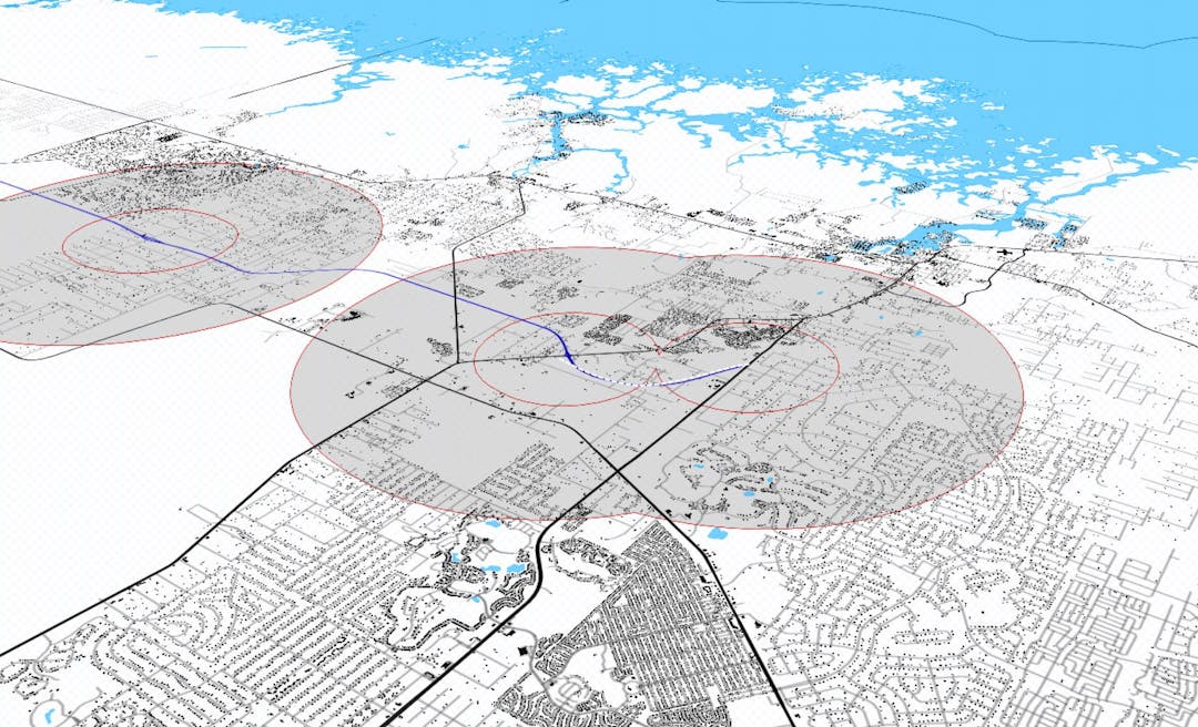
The County Road (CR) 486 Interchange Management Area (IMA) project limits will potentially include properties along CR 486 between SR 44 to the west and CR 491 to the east. However, defining the exact limits of the IMA will be part of this planning process and public input received during the process will be an important component of our data collection upon which decisions are based.
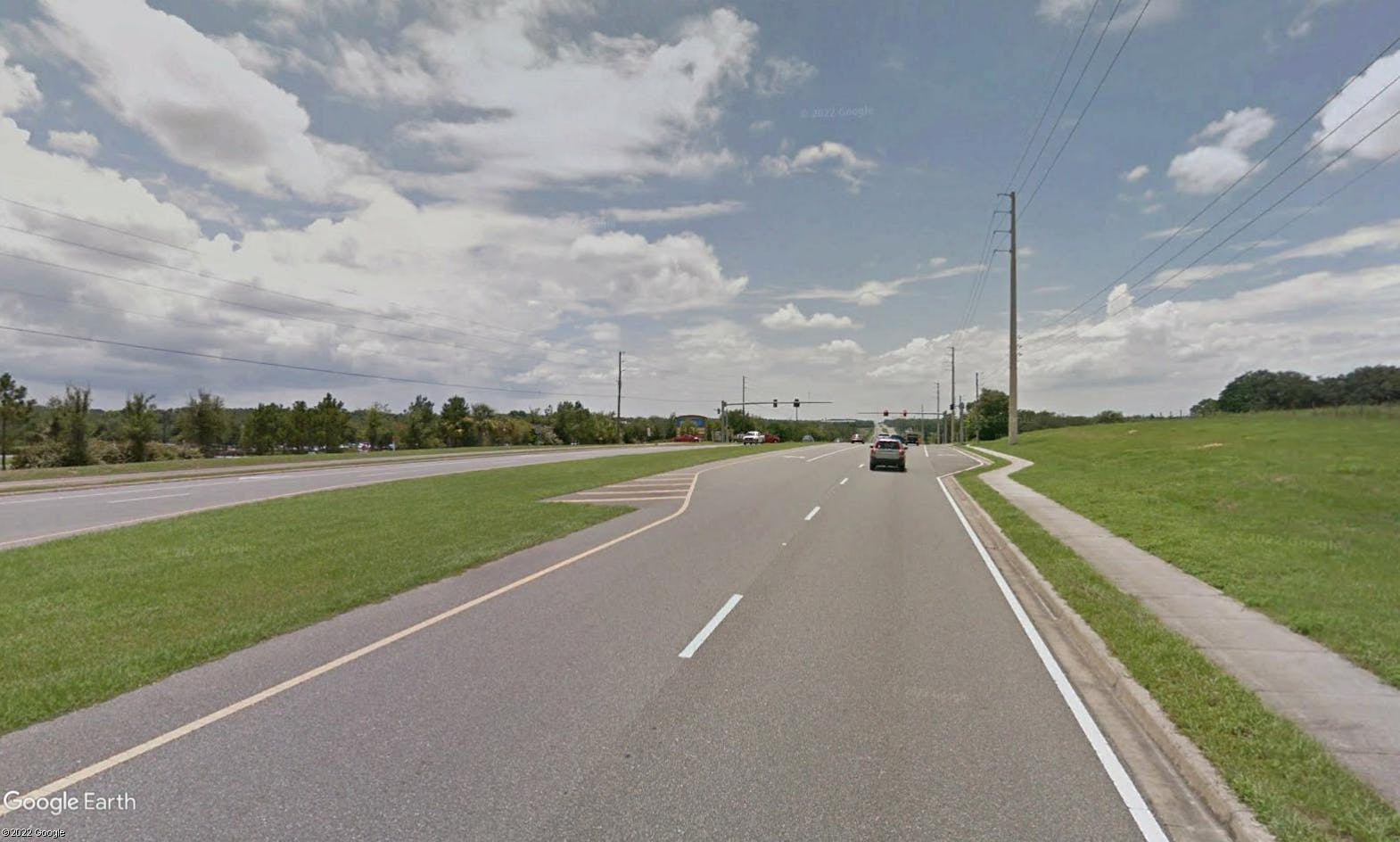
Click on the document to the right titled "Map" to access a complete map set for the CR 486 IMA. Images of the CR 486 IMA are also located to the right.
Have a question or comment?
Send a question or comment about the CR 486 IMA project by completing the form below.
Page last updated: 19 Dec 2022, 09:29 PM


Thank you for your contribution!
Help us reach out to more people in the community
Share this with family and friends